Geography Planning and Assessment
Planning and Assessment
The geography curriculum at Katherines, has been designed to impart essential knowledge which is planned progressively, through the NET curriculum, across key stage one and two. This planned knowledge includes vocabulary and concepts. The concepts build upon one another year after year and refer to one another overtime. Each geography unit has a unit overview document which details the topic name, geographical strand, key skills, prior knowledge, core vocabulary and knowledge to be embedded.
All aspects of the geogrpahy curriculum are covered throughout a pupils’ time in their key stage. We ensure that learning is meaningful, ambitious, and has progression through each year and across each year group. Each academic year we start locally, in a familiar context (in upper key stage 2 this includes Europe) and move outwards into the wider world.
Geography is spilt into four repeating strands that continue throughout the whole curriculum. These are as follows:
Locational Knowledge
Within this strand pupils learn about: the world’s seven continents and oceans; countries and capital cities of the UK and within Europe; environmental and geographical regions; key topographical features and land-use patterns, and how these aspects have changed over time; human and physical characteristics, including the lines of latitude, longitude and time zones.
Geographical Skills and Fieldwork
Within this strand pupils learn about: geographical information (maps, atlases, globes and GIS) to locate countries and describe features studied; using compass directions, four and six figure grid references, symbols and keys; using locational/ directional language to describe the location of features and routes on a map; recognising landmarks and human and physical features; creating maps; using fieldwork to observe, measure, record and present the human and physical features in the local area using a range of methods.
Human & Physical Geography
Within this strand pupils learn about: seasonal and weather patterns in the UK and hot/cold areas of the world, geographical vocabulary, describing and understanding key aspects of physical and human geography. In physical geography pupils will learn about; biomes and vegetation belts, rivers, mountains, volcanoes and earthquakes, and the water cycle. Within Human geography pupils will learn about; types of settlement and land use, economic activity and land use, and the distribution of natural resources including energy, food, minerals and water.
Place Knowledge
Within this strand pupils learn about: regions located in the UK and around the world, similarities and differences through the study of human and physical geography of different regions.
As a geographer, pupils will have the opportunity to develop skills in the following domains:
- Geographical enquiry
- Direction/ Location (Compass points, following directions, grid references).
- Using and drawing maps.
- Map knowledge Representation (Symbols/ Use of a Key) Style of maps.
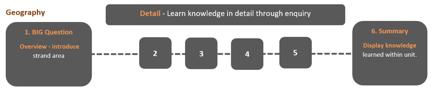
Pupils follow a sequence of learning, starting with an idea or question and learn new knowledge in detail through enquiry, culminating in a demonstration of knowledge learnt within the unit.
Unit Overviews and Knowledge Organisers have been created to assist with planning and lesson sequences. A wide range of physical and virtual resources are used to support with the pupil's learning.